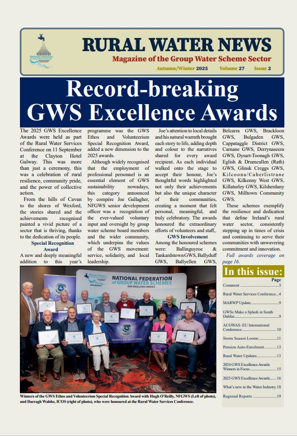
In tandem with the groundwater pilot and building on the recommendations in the NSPPP’s final report, in 2012 the NFGWS submitted a Source Protection Strategy to the NRWSC. This stressed the importance of professional catchment delineation and mapping as a necessary first step in source protection planning and also emphasised the importance of securing genuine community engagement and the active support of statutory agencies in the development and implementation of source protection strategies.
Arising from the strategy document, a successful funding application was submitted to the then Department of Environment, Community and Local Government for funding towards scheme specific source protection works. Under a sub Measure 1 of the Rural Water Programme, grant-aid of 85% (up to a maximum of €2,600) was provided to schemes towards a professional evaluation of their raw water sources, to include delineation/mapping of catchments, the identification of potential hazards and general recommendations.
For both surface water and groundwater studies, the NFGWS provided practical assistance to the professionals, as did GWS committee members/operational staff, in progressing individual source studies. For their part, the Centre for Freshwater & Environment Studies in DkIT and the GSI provided project direction and oversight for the surface water and groundwater studies respectively. As a result of this collaborative approach, 95% of scheme sources were delineated/mapped and reports completed within the 5-year project timeframe, 2014-2018. It is anticipated that the remaining 5% of GWS sources will be completed in 2019, as catchment mapping/ZOC delineation is a condition of subsidy under the multi-annual Rural Water Programme 2019-2021
This will conclude Phase 1 of the Federation’s Source Protection Strategy.